Define the outcome
We align the field plan with access, accuracy, coordinates and required deliverables.
 Start a conversation
Rail survey services · Calgary
Track geometry, monitoring, LiDAR, UAV mapping and survey control for freight, transit and infrastructure projects in Calgary and Southern Alberta.
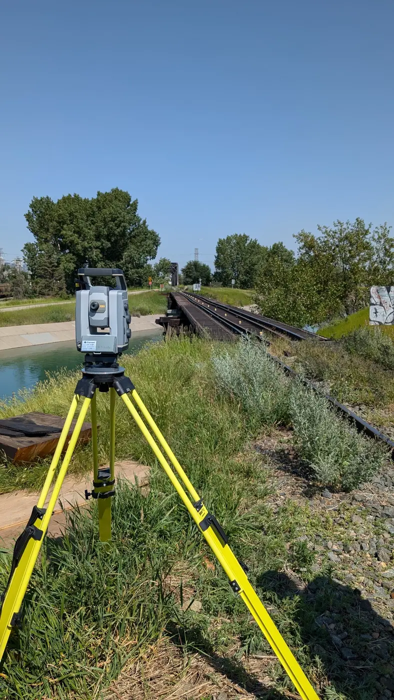
Specialized field systems, rail-aware planning and clear deliverables—from the first control point through to final CAD, reports or movement data.
High-accuracy railway track geometry, alignment, as-built and clearance surveys using Trimble GEDO systems across Canada.
↗02Rail Track & Structure MonitoringAutomated, manual and remote-sensor monitoring for active railway track, bridges and structures across Canada.
↗03Railway UAV LiDAR & Topographic SurveysUAV LiDAR, photogrammetry and topographic mapping for railway corridors, bridges and surrounding terrain across Canada.
↗04Rail Clearance & Tunnel Envelope SurveysGEDO-based railway clearance surveys, tunnel envelopes and point-cloud analysis for freight and transit systems in Canada.
↗05Railway Survey Control & Precise LevellingRobust railway survey-control networks, GNSS, traversing and precise levelling for repeatable project delivery across Canada.
↗
Calgary delivery
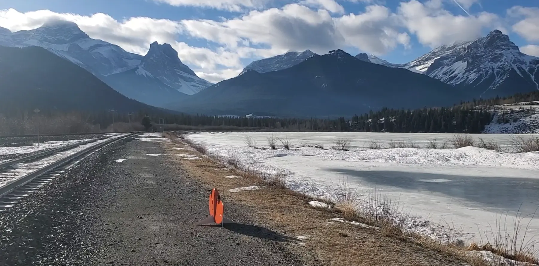
From our Calgary head office, Summit supports freight, transit, bridge, construction and corridor projects with specialized rail survey capability.
We combine track measurement, conventional survey, LiDAR, UAV capture and monitoring into a coordinated approach—reducing handoffs and giving project teams one dependable set of answers.
Discuss your project ↗How Summit delivers
We align the field plan with access, accuracy, coordinates and required deliverables.
Calgary-based coordination puts suitable rail survey technology and crews on the project.
QA-checked CAD, reports, point clouds and movement data are ready for the project team.
Calgary project enquiry
Share the asset, project stage, access constraints and required output. Summit will review the scope and respond directly.
403-629-6187 →