Capabilities
Measured for the railway.
- UAV LiDAR and photogrammetry
- Corridor and topographic mapping
- Ground-control and check-point surveys
- Orthomosaic and surface-model production
- Point-cloud classification
- Repeat capture for change analysis
 Start a conversation
Aerial reality capture
UAV LiDAR, photogrammetry and topographic mapping for railway corridors, bridges and surrounding terrain across Canada.
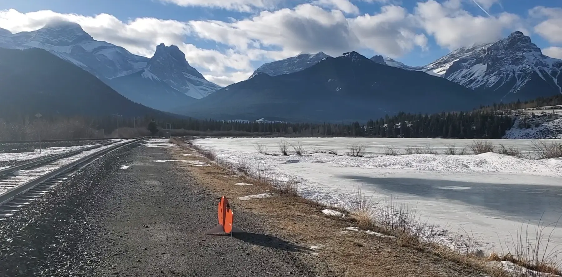
Our aerial workflows capture complex corridors and surrounding terrain efficiently, then turn the observations into engineering-ready information. Summit establishes suitable survey control, validates the dataset and supplies outputs in the project coordinate system.
Capabilities
Deliverables
Your next project